Holloways: how to read a sunken lane

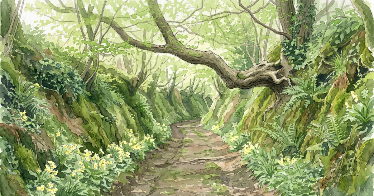
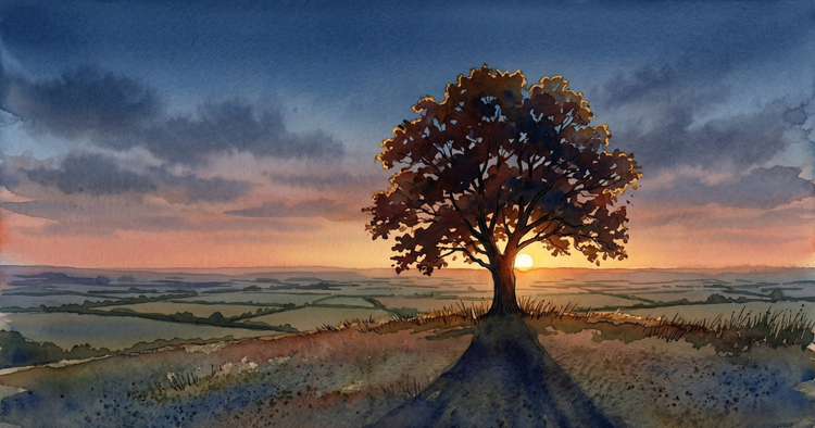
A sunken lane drops below the level of the fields around it through nothing but use. Every foot, hoof, and cartwheel that has gone along it has taken a little of the surface with it, and the surface has gone downhill. The result is a path that runs between two banks, sometimes well above head height, often hung with fern, sometimes entirely roofed over by hazel and ash growing from the upper edges. The Old English word for one is hola weg – hollow way – and the modern usage, holloway, is a direct descendant.
Where to find them
Holloways are concentrated in the soft-soiled counties of southern England: Dorset, west Somerset, Devon, Sussex, the Welsh borders, and the chalk-and-greensand country of Hampshire and Wiltshire. They occur wherever the underlying rock is soft enough to be worn down by use, but firm enough to hold a vertical bank when it has been worn. They are far less common in the limestone and granite country of northern England, and almost absent on the chalk downs themselves, where the surface compacts rather than erodes.
On an Ordnance Survey 1:25,000 map, holloways appear as footpaths or unmetalled tracks. The diagnostic feature on the ground is a path that drops below the level of the surrounding fields, with banks rising on either side. A single drop of half a metre over a stretch of fifty paces is enough to identify one. Anything deeper is a holloway in earnest.
How to read the age of one
The depth of the lane is a rough proxy for the length of time it has been in use. A lane one metre below field level is old – at least medieval, often earlier. Two metres is very old, and probably dates from before the field system around it. Lanes worn three metres into the chalk-edge country of Dorset and Wiltshire have been in continuous use since the Bronze Age, and the path is sometimes entirely hidden from the open field above.
Three further markers help with dating. The first is the relationship between the lane and the parish boundary. Holloways were often used as boundaries because their depth and continuity made them legally legible features in a landscape where most other markers shifted. Anglo-Saxon charter boundaries, recorded from the ninth century, frequently use holloways as marker points. If a lane is named on a tithe map or estate map as a parish boundary, it is at least medieval and probably older than the parish itself. The English Place-Name Society volumes carry the Old English forms parish by parish.
The second is the height of tree roots crossing the path. A holloway that has dropped away from the hedgerow above leaves the roots of hazel, ash, and oak suspended at head height across the lane, where they were once underground. The longer the lane has been in use, the more pronounced the effect.
The third is the species composition of the upper banks. Hooper’s rule – count woody species in a thirty-metre stretch and multiply by a hundred for an approximate age – applies as well to a holloway bank as to any hedge. A mixed bank with five or six species is several hundred years old.
What grows in them
The microclimate of a holloway is distinct: cooler in summer, warmer in winter, more humid year-round, and shaded for most of the day. Plants that struggle in open hedgerow do well here. Hart’s-tongue fern colonises the deepest sections in the western counties. Wood spurge, dog’s mercury, and town-hall-clock are all reliable holloway indicators, particularly in Dorset and west Somerset. Primroses concentrate on the lower banks where the shaded angle holds the soil moisture into late spring. Ground ivy is often in flower under the upper banks before the canopy closes.
In the chalk-edge counties, the deepest holloways carry a flora closer to ancient woodland than to hedgerow, including native bluebells, wood anemone, and ramsons – species that need stable conditions over centuries to establish.
How to walk one well
Stand in the deepest part of a holloway and look at where the shaded bank meets the path. That angle, repeated along the length of the lane, is where most of the early flowers concentrate. Walk slowly. Most of what is worth seeing is in the lower three feet.
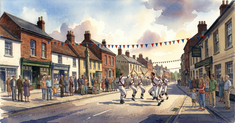
The writers Robert Macfarlane and Dan Richards revived the word holloway for a wider readership with their 2013 book of that title, but the Sussex and Dorset farmers who were already calling them holloways in 1900 had not been waiting for permission.
Sunken lanes featured as the Weekend Compass and the linguistic note in Issue 3 of The Cottage Almanac, The First Swallow.
Sources
English Place-Name Society, county volumes. Oliver Rackham, The History of the Countryside (Dent, 1986). Robert Macfarlane, Stanley Donwood, and Dan Richards, Holloway (Faber, 2013).